
Kane Creek Canyon is a trail that was highly recommended to us by a neighbor when staying at Canyonlands Campground in Moab.
“The only hard part is the climb out of the canyon, and that isn’t too bad” were the only words of hesitation.
So with reckless abandon, I hit the trail with friends Andy, Matt and Joe.
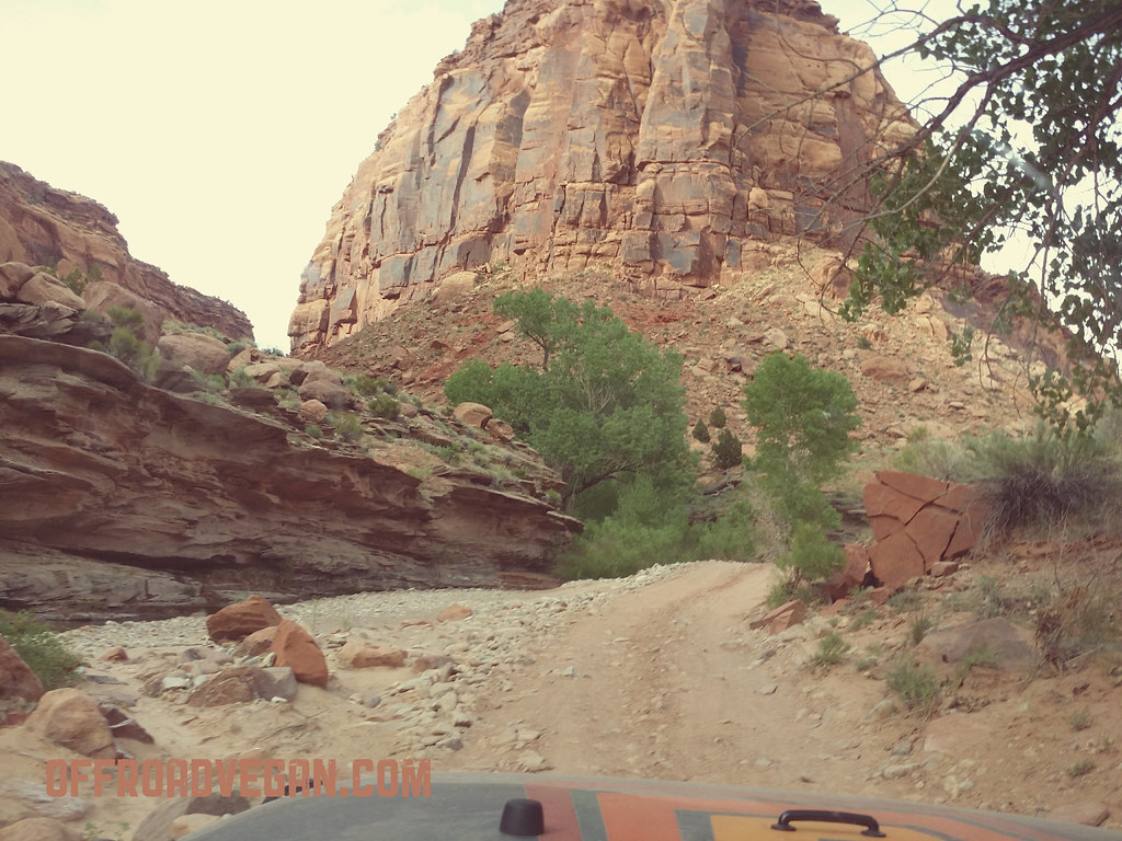
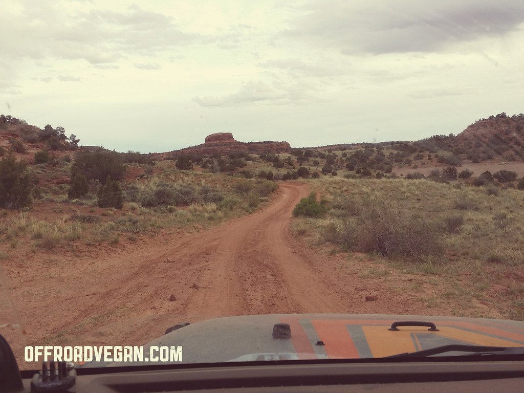
The trail follows Kane Creek Canyon road out of Moab, heading West. The road quickly turns to dirt and descends through a really nice canyon. The road was pretty dusty, so Matt in his JK had to drop back a bit.

Eventually the trail appeared on the Left, across from the Kane Creek/Chicken Corners pull off.
The trail starts out as a pretty tame dirt road with just enough random boulders to keep you in 4L and not 4HI. Which is irritating, as you are basically bumping around on a pretty boring trail. On the day we headed out, there were literally hundreds of side-by-sides (I call them golf carts) coming in our direction. With all the pulling over, dust, and a relatively boring road, we contemplated turning around.
Boy am I glad we didn’t.
The boring little trail warms you up with a series of bad washouts to climb into and out of. As the canyon walls close in tighter, you also gain some elevation making the prospect of tipping off the trail more of a hazardous concept.
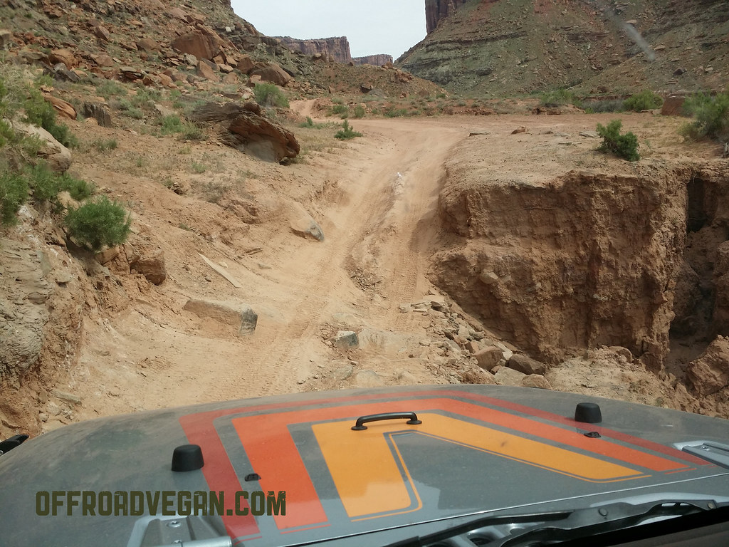
Our first obstacle was squeezing between two perfectly placed boulders. The passenger rock wants to rip off your rear passenger fender, while the driver rock wants to make you get all tippy and freaked out. With some creative lines and a little road building, we successfully navigated through – with all fenders and the shiny side up.

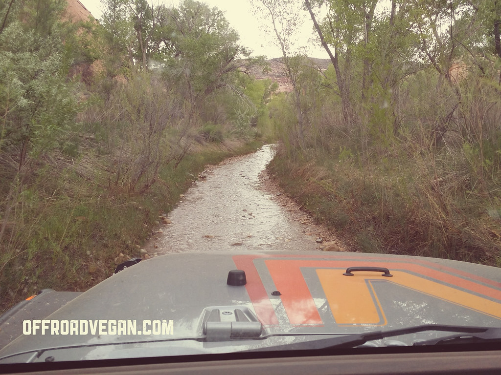
You soon drop into the actual creek itself which runs the length of the canyon. This creek is part waterway and part trail, with countless water crossings and even some tricky wayfinding. Be prepared for the tamarisk to leave some healthy scratches on your body, as some of these trails get pretty tight and overgrown.
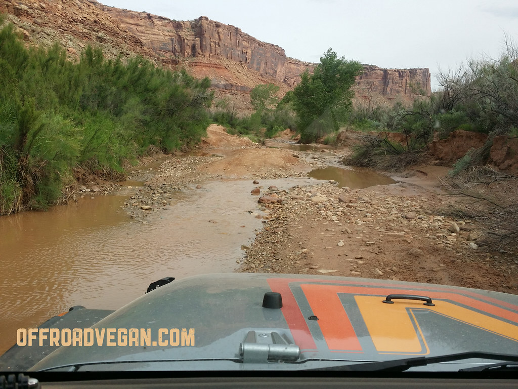
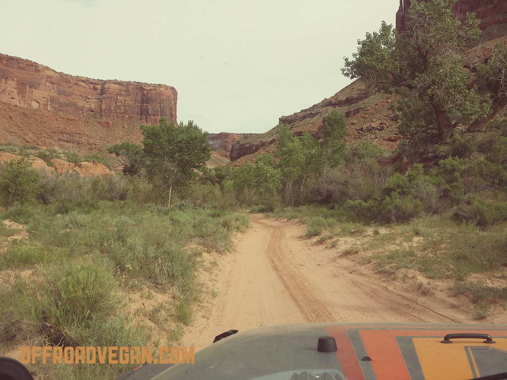
There are also long stretches of trail in the base of the canyon that is composed primarily of river sand and rock.
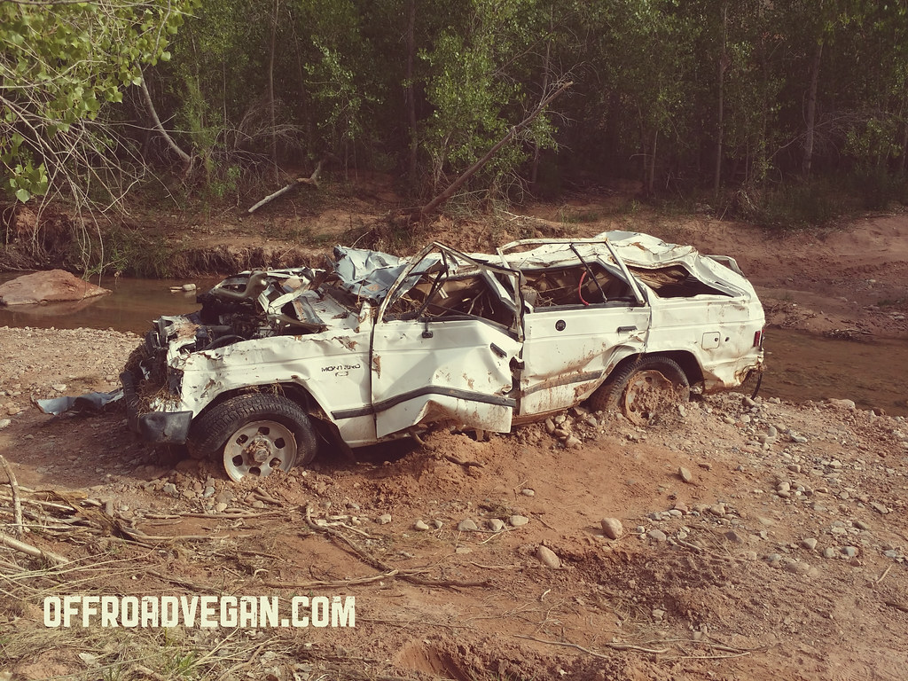
We soon came across a Mitsubishi Montero that had certainly seen better days.
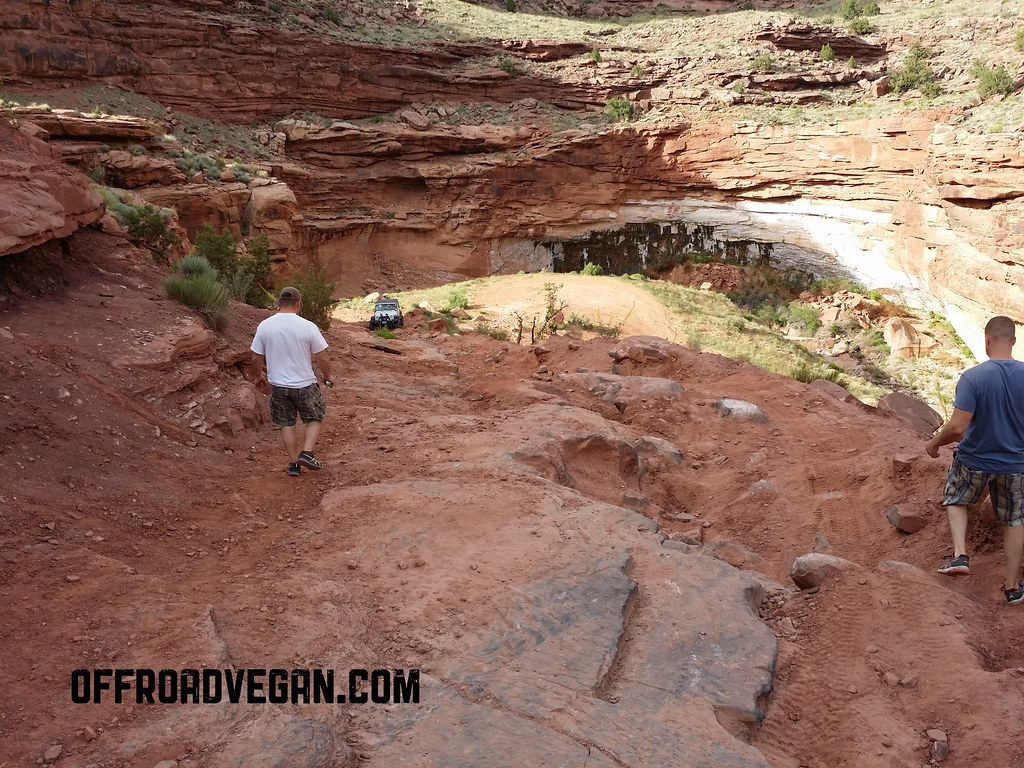
The trail soon begins to climb as the end of the canyon gets closer.
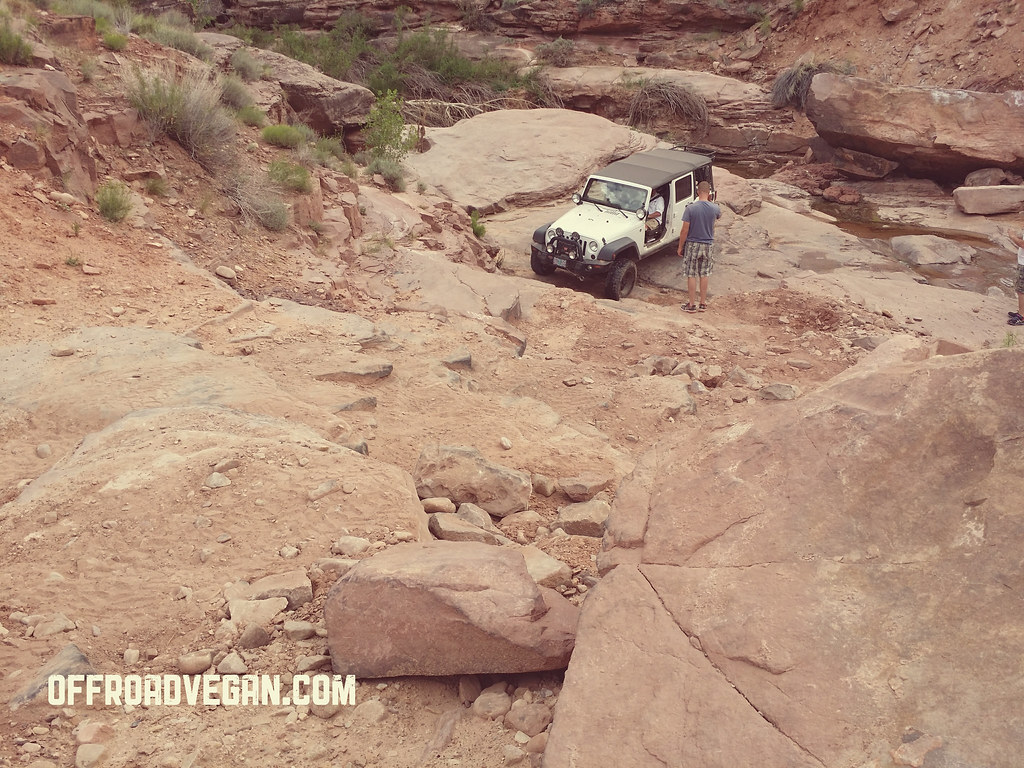
Once the trail begins to rise, a trail marker rated as “More Difficult” (Blue) identifies the first challenging set of ledges. There is a large parking area on the bend. And, while the trail uphill looks daunting, with careful tire placement and good spotting, it is easily navigable.
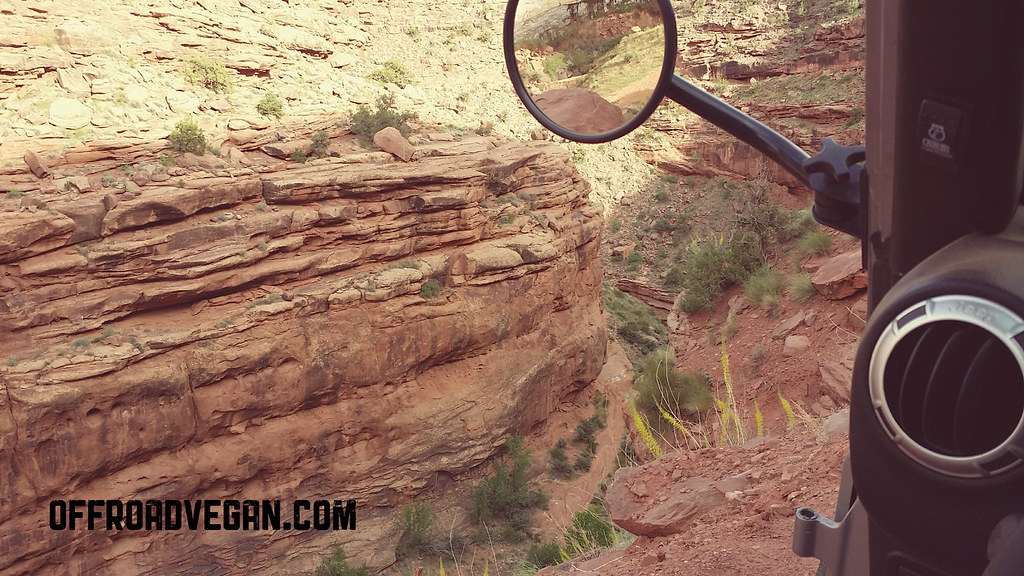
The trail soon ascends a narrow shelf road with some precarious tire placement right on the edge of the 500 foot drop.
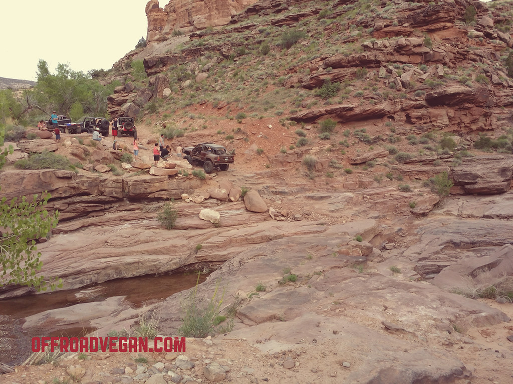
The shelf road soon drops down into a rocky creek crossing and another trail marker, this time classifying the obstacles as a black diamond “Most Difficult.”
A group of Jeeps and Toyotas had apparently been hung up on this section for quite some time, but they cleared out just as we arrived. Again, with excellent spotting and driving, we all navigated this final set of obstacles without issue.
There are a few final creek crossings (including one stretch where the creek actually is the trail).
After one final ledge obstacle (a single ledge), the trail ends at a pipeline marker. From here to highway 191, the road is easily run in 2WD.
There is a air up area right where the road meets the highway for the 30 minute drive back to Moab.
Estimated trail time: 4 hours.
